*This article is from The Local Malibu Fire Issue/Summer 2024
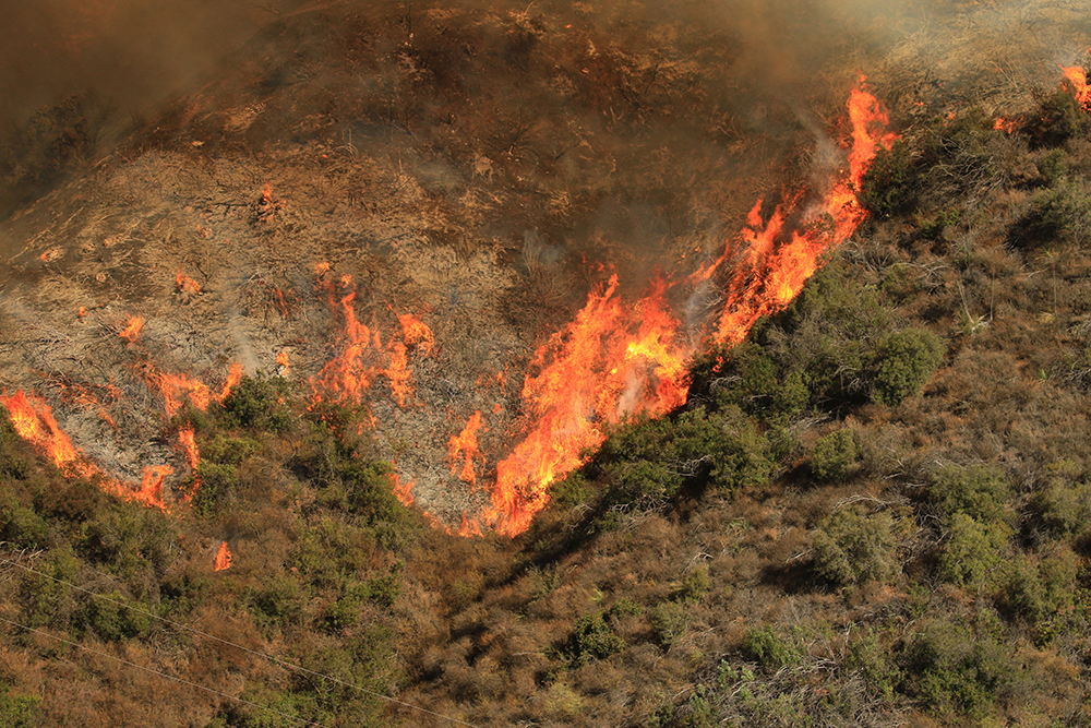
Summer may be the busiest season of the year for visitors to the area, but it also marks the beginning of the most dangerous time of year for locals as we officially enter Wildfire Season July 1st.
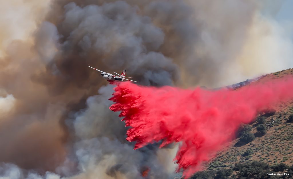
California has seen more than 30 fires in the last month, the first major wildfire of 2024. In southern California, the Post Fire was the first major wildfire in LA County erupting near Gorman, California, and burned approximately 15,500 acres. That along with fires burning in Northern California this month, forced California fire authorities to officially called an “early start” to wildfire seas
Malibu Daily News contacted Malibu City Public Safety Director Susan Duenas to inquire about the location of wildfire detection cameras and their capabilities.
According to Duenas, the city receives wildfire alerts through several sources in the area: ALERTCalifornia, Pano Alerts, and Southern California Edison.
ALERTCalifornia is a state-focused program managing a network of more than 1,080 monitoring cameras and sensor arrays (as of June 2024) throughout the state.
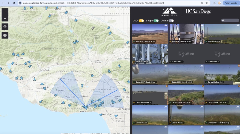
The city receives PANO alerts form their camera installed in Castro Peak. During the fall season, alerts increase due to the uptick in fires in the area. Once the alert is received, officials are able to see what the camera is seeing in great detail allowing them ample time to warn residents.
PANO installed the cameras shortly after the Woolsey Fire devastated the region as a part of their Research and Development of their AI Wildfire Detection cameras and approached the City offering free access.
An investigation by fire officials concluded in 2021 determined that high winds led a loose wire owned by Southern California Edison made contact with conductors and sparked the fire which killed three people and burned 100,000 acres in Los Angeles and Ventura counties, according to a statement by the California Department of Justice.
SCE has since implemented Public Safety Power Shutoffs (PSPS), a decision made by SCE to shut off power during dangerous fire weather conditions. According to SCE’s website, PSPS is based on weather forecasts and fire modeling, as well as real-time guidance from fire scientists, meteorologists and crews in the field.when high wind events occur during wildfire season. The SCE cameras are available for public view on their website: https://www.sce.com/wildfire/situational-awareness
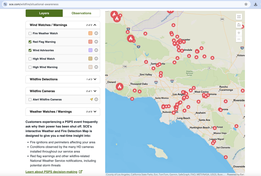
While the use of this technology is a great advantage in many ways, it is also not nearly enough to protect life and property given the potential for catastrophic conditions to develop rapidly during Santa Ana Winds.
Residents are now seeking out privatized protection against natural disasters in rural areas as an added measure of much needed safety resources.
International Protective Service, Inc. (IPS), based in Albuquerque, New Mexico, offering services to various cities across the US, including Malibu and the surrounding areas of LA County since shortly before the Woolsey Fire, recently announced the expansion of their security solutions.
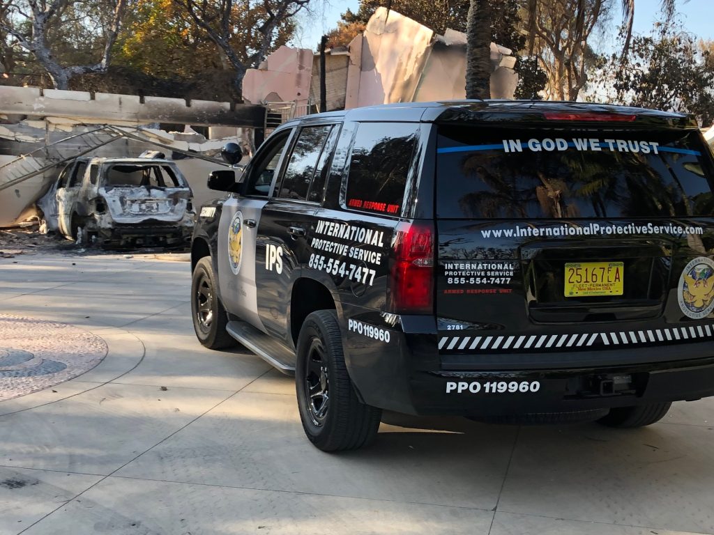
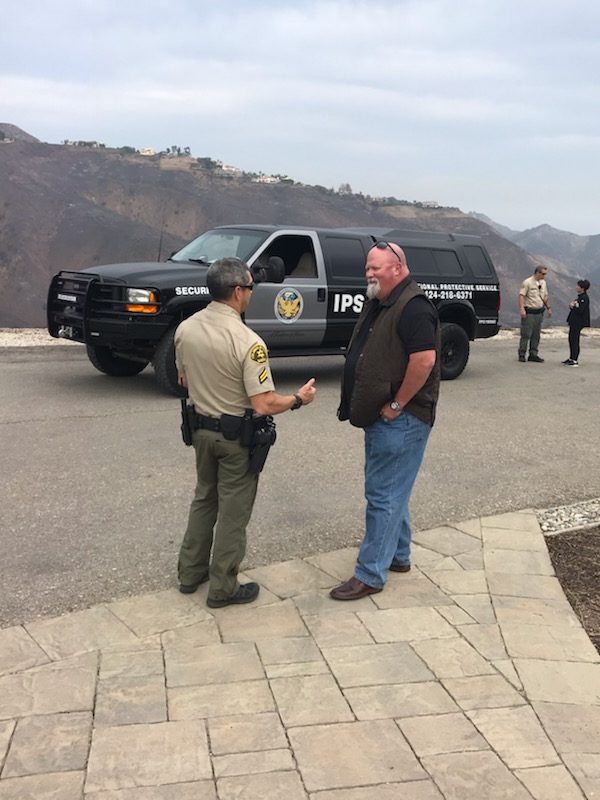
IPS’s Global Aviation Division includes a fleet of state-of-the-art drones, conceivably the first step in wildfire prevention, which are equipped with high-resolution cameras, thermal imaging technology, forward looking infrared (FLIR) and real-time data transmission capabilities.
This allows for immediate AI and human analysis and response to potential threats. They can effectively monitor large or small areas, detect potential threats, and respond swiftly to an incident.

“Our drones and aircraft are for detecting fires, floods and potential criminal or natural situations that create peril to lives and property.”California is all about quality of life and experiencing everything this beautiful state has to offer, especially the area along the Santa Monica Mountain Basin all the way to the Pacific. IPS wants to protect that.” said Aaron Jones, IPS CEO.
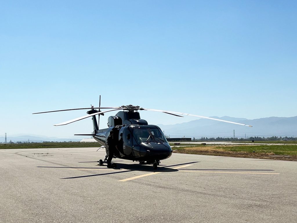

IPS is currently in the pilot program stages and are offering subscription based clients these specialized services, a necessity in affluent rural communities who remain a consistent target for natural and man-made disasters.
For more information on IPS Aviation Division services go to ipsglobalaviation.com



Leave a Reply